Sometimes there is simply not enough room for all the ideas. Sometimes you want all the images to make it to the final round.
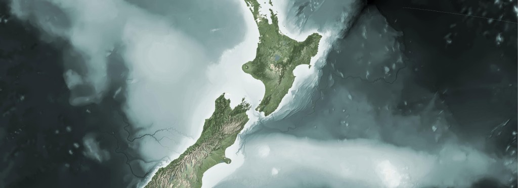
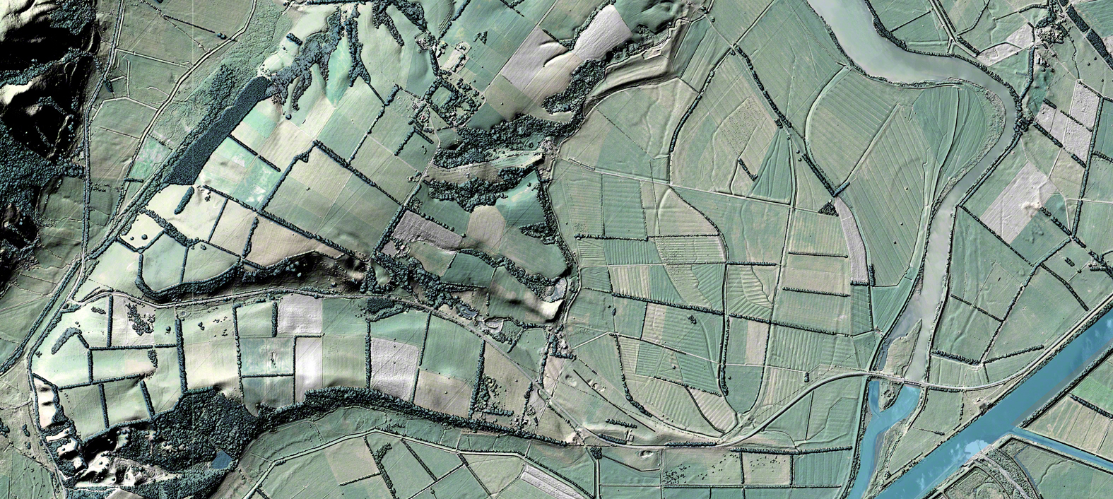
In a recent project to promote some of our elevation data, I was asked to present a number of ideas for a 2000mm x 900mm wall hanging. The piece was to act as a conversation starter and demonstrate some of the finer details elevation from LiDAR possesses.
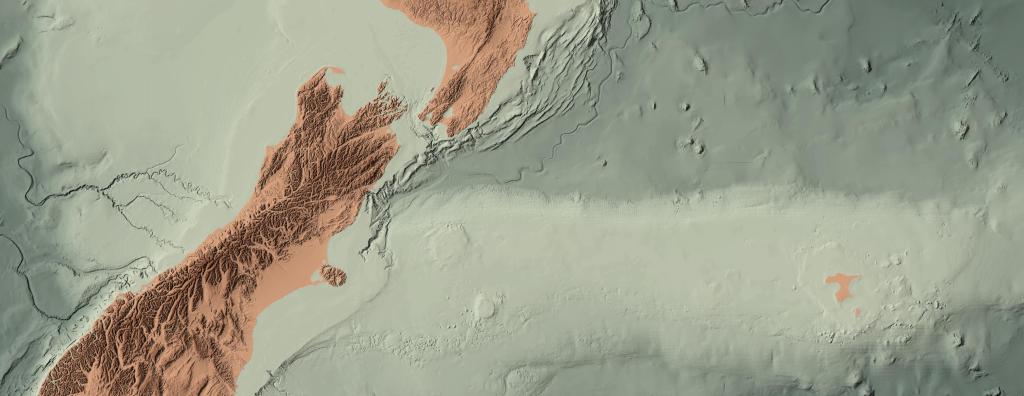
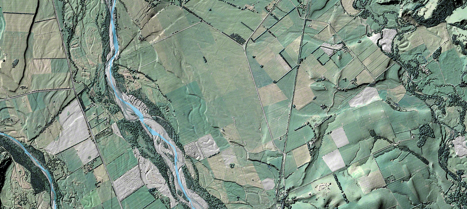
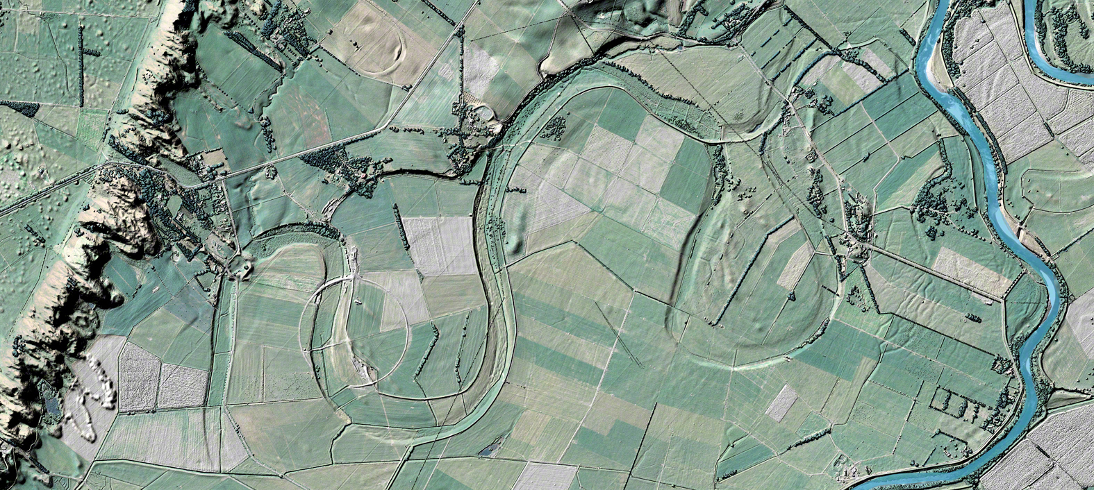
In the end, the image above was the chosen candidate. Below are the drafts I initially presented for review. You can see the difference in treatment from the original ideas to the final product. Personally, I really enjoyed the images developed for the draft series, I liked the silvery undertones, and I thought it was a shame to merely let these images sit on my hard drive.
Below, you’ll find a brief description about a few challenges faced in the image development.


Artifacts and Finer Details
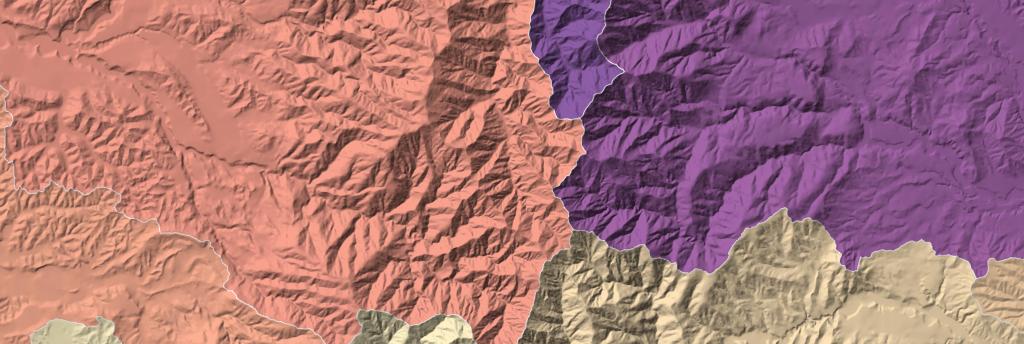
The hardest part of this job was drawing out the finer details of the chosen location. There was a strong interest in showing the ancient river bed; however, without a good bit of tweaking in the hillshades, the image is quite flat. After some trial and error, I found I could get a good contrast by limiting the hillshade values range to 170-190. That’s it, but the readability of the project really hinged on the simple tweak. It really made the details stand out.
That said, the gain in detail also revealed a significant artifact in the data. If you go back up and have a closer look, you will find diagonal depressions running across the images in equal intervals. These are lines from where the LiDAR scans overlap. I haven’t quite had the time to figure out how to remove these from the original data source, so for now I leave them in as conversational piece around improving LiDAR capture practices.
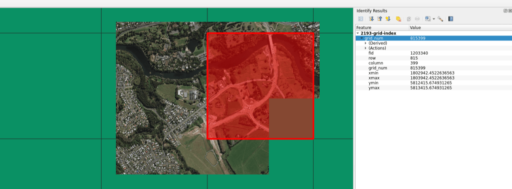
As usual, all map layout work was completed on QGIS, with the bulk of the data processing done using GDAL. The ‘Reject’ images for this post are direct exports from QGIS, with no manipulation apart from some down-sampling and cropping in Photoshop.
Base data can be found here:
DEM: https://data.linz.govt.nz/layer/53621-wellington-lidar-1m-dem-2013/
DSM: https://data.linz.govt.nz/layer/53592-wellington-lidar-1m-dsm-2013/
Aerial Imagery: https://data.linz.govt.nz/layer/51870-wellington-03m-rural-aerial-photos-2012-2013/
Hope you like and thanks for checking in!
Note: All imagery was produced during my time at Land Information New Zealand. Imagery licensing can be found here:
“Source: Land Information New Zealand (LINZ) and licensed by LINZ for re-use under the Creative Commons Attribution 4.0 International licence.”